Figure 10 – India: Normal dates of Onset of the Southwest Monsoon
3.5. Rain Bearing Systems and Distribution of Rainfall
The southwest monsoon splits into two branches, the Arabian Sea Branch and the Bay of Bengal Branch near the southernmost end of the Indian Peninsula. Hence, it arrives in India in two branches: the Bay of Bengal branch and the Arabian Sea Branch (Figure 11). First originate in the Bay of Bengal causing rainfall over the plains of north India. Second is the Arabian Sea current of the southwest monsoon which brings rain to the west coast of India. The latter extends toward a low-pressure area over the Thar Desert and is roughly three times stronger than the Bay of Bengal branch.
The monsoon winds originating over the Arabian Sea further split into three branches:
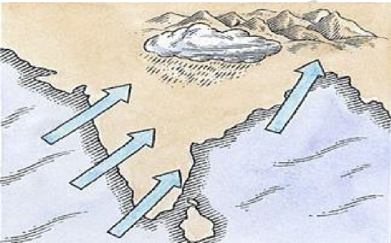
♤ One branch is obstructed by the Western Ghats. These winds climb the slopes of the Western Ghats and as a result of orographic rainfall phenomenon, the windward side of Ghats receives very heavy rainfall ranging between 250 cm and 400 cm. After crossing the Western Ghats, these winds descend and get heated up. This reduces humidity in the winds. As a result, these winds cause little rainfall east of the Western Ghats. This region of low rainfall is known as the rain-shadow area.
♤ Another branch of the Arabian Sea monsoon strikes the coast north of Mumbai. Moving along the Narmada and Tapi river valleys, these winds cause rainfall in extensive areas of central India. The Chotanagpur plateau gets 15 cm rainfall from this part of the branch. Thereafter, they enter the Ganga plains and mingle with the Bay of Bengal branch.